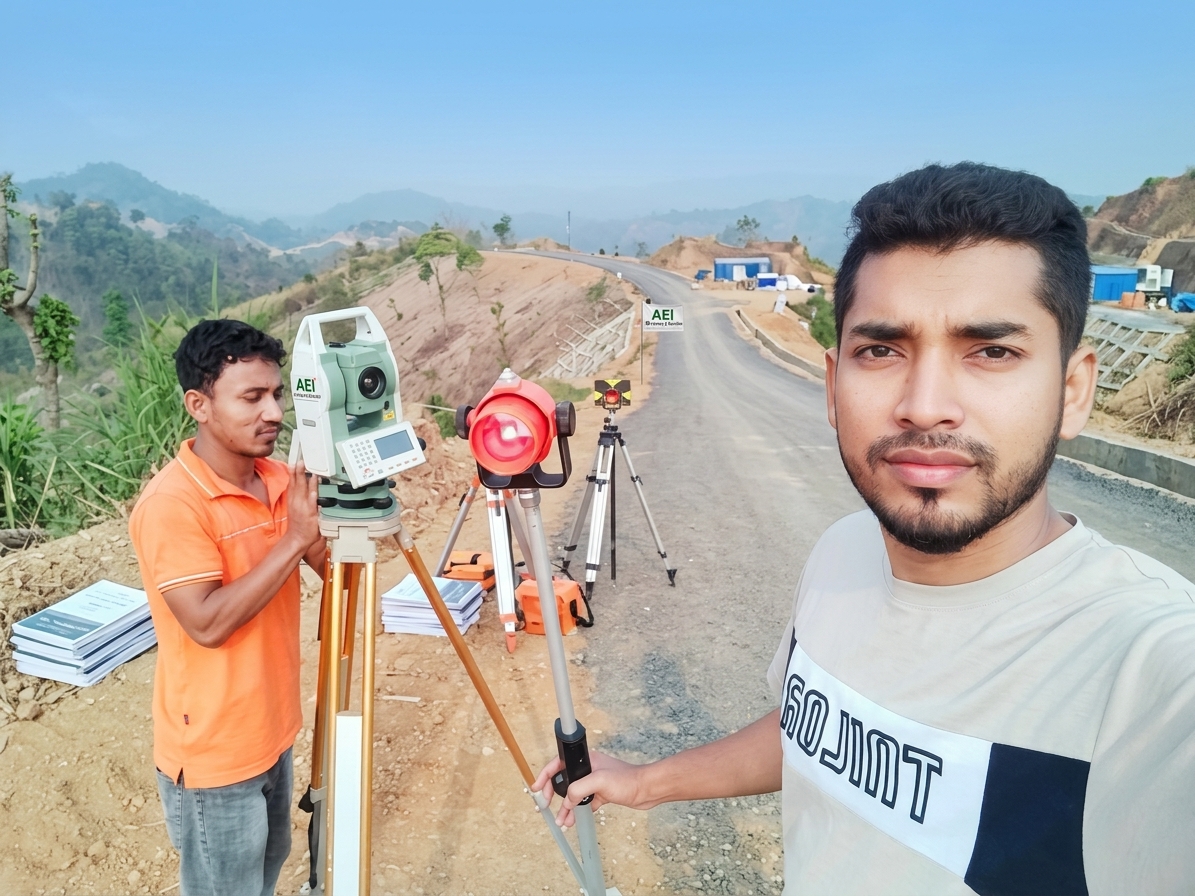
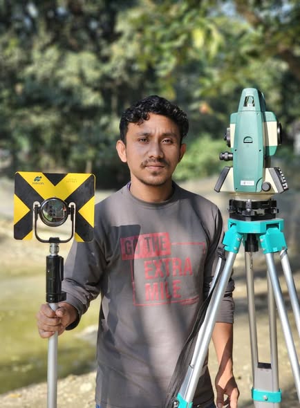
What is Digital Surveying | কেন এবং কিভাবে ডিজিটাল সার্ভে করা হয়
What is Digital Surveying - সার্ভে অর্থ হলো জরিপ। ভূমি জরিপের ডিজিটাল পদ্ধতিকেই ডিজিটাল সার্ভে বলে। এই সার্ভের দ্বারা খুব সহজেই জ…
Read Article ↗
Professional digital land survey, drone mapping, RTK GPS and engineering survey services.
From site boundaries to infrastructure mapping, our service portfolio helps projects start with reliable field data.
Digital boundary mapping, area calculation and survey plans.
Detailed land levels, terrain mapping and surface features.
Contours, site levels, and earthwork planning.
Large-area aerial mapping and photogrammetric survey.
GNSS positioning, control points and coordinate-based mapping.
Document completed structures and compare field conditions with drawings.
AEI Survey & Solution offers modern, detail-oriented surveying and mapping services for landowners, developers and engineering teams. Update this introduction with your verified company information.
Explore selected assignments, completed surveys and project case studies.
Tell us the location, survey type and approximate land area. We will review your requirements.
Working together to deliver reliable surveying and engineering solutions.